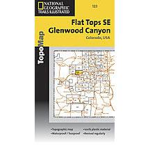
The National Geographic -Trails Illustrated folded map is your essential guide for outdoor exploration in Colorado's Flat Tops SE/Glenwood Canyon area. The brilliantly illustrated topographical representation shows all trails, campsites, and recreational features, plus relevant info on wildlife, history, geology, and archaeology. Coverage includes White River National Forest. Flat Tops Wilderness. Deep Creek Rec. Area. Eagle and Colorado River, Coffee Pot Lakes, Heart, Haypress, Hanging and Sweetwater lakes. Tibbett's Ridge. Glenwood Canyon Trail. Cottonwood Pass. All data is updated to reflect road closings, new trails, and campground relocation.
Printed on waterproof, tear-resistant material with a plastic coating that offers supreme durablity for your next outdoor adventure.
Measures 4" x 9" folded and 28" x 32" fully opened.

