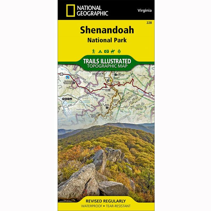
This map includes: wilderness areas; Rapidan Wildlife Management Area; Overall Run Waterfall; Whiteoak Canyon Waterfall; Cedar Run Waterfall; Rose River Waterfall; Dark Hollow Waterfall; Lewis Waterfall; South River Waterfall; Doyles River Waterfalls; Jones Run Waterfall; the cities of Front Royal, Waynesboro, Harrisonburg, Shenandoah, Elkton, Grottoes, and Charlottesville; George Washington National Forest; the Appalachian Trail; Shenandoah River; Skyline Drive. Includes UTM grids for use with your GPS unit.
- Approximately 4 1/4" x 9 1/4" folded; 25 1/2" x 37 3/4" fully opened
- Scale = 1:75,000
- Printed on waterproof, tear-resistant paper.
More than just a map, National Geographic Trails Illustrated topographic maps are designed to take you into the wilderness and back. Printed on tear-resistant, waterproof material, this map can go anywhere you do. Each map is based on exact reproductions of USGS topographic map information, updated, customized, and enhanced to meet the unique features of each area. The maps include valuable wilderness tips and Leave No Trace guidelines, along with updated trails, trailheads, points of interest, campgrounds, and much more. With a new color palette and stunning shaded relief, backcountry navigation has never been easier.