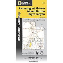
The National Geographic -Trails Illustrated folded map is your essential guide for outdoor exploration in Utah's Paunsaugunt Plateau/Mount Dutton/Bryce Canyon area. The brilliantly illustrated topographical representation shows all trails, campsites, and recreational features, plus relevant info on wildlife, history, geology, and archaeology. Coverage includes Dixie National Forest. Bryce Canyon National Park. Paunsaugunt Plateau. Red Canyon, Sunset and Pink Cliffs, Johns Valley, Casto Canyon, Swallow Park Ranch, Sevier Plateau and Pole Canyon. Tropic Reservoir, Cottonwood Creek and Sevier Creek. All data is updated to reflect road closings, new trails, and campground relocation.
Printed on waterproof, tear-resistant material with a plastic coating that offers supreme durablity for your next outdoor adventure.
Measures 4" x 9" folded and 28" x 32" fully opened. Scale of 1:50,000.