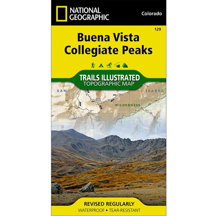
Coverage includes: Gunnison and San Isabel National Forests; Collegiate Peaks Wilderness; the cities of Buena Vista, Princeton, Rockdale and Winfield; Cottonwood, Hartenstein and Bear lakes; the Arkansas River; Cottonwood and Browns passes. 14ers: Mt. Oxford, Belford, Harvard, Columbia, Yale, Missouri Mountain and Huron Peak.
- Approximately 4" x 7 1/2" folded; 22" x 32" fully opened
- Waterproof, tear-resistant
- Scale = 1:40,680
- Map revised - 2006
More than just a map, National Geographic Trails Illustrated topographic maps are designed to take you into the wilderness and back. Printed on tear-resistant, waterproof material, this map can go anywhere you do. Each map is based on exact reproductions of USGS topographic map information, updated, customized, and enhanced to meet the unique features of each area. The maps include valuable wilderness tips and Leave No Trace guidelines, along with updated trails, trailheads, points of interest, campgrounds, and much more. With a new color palette and stunning shaded relief, backcountry navigation has never been easier.