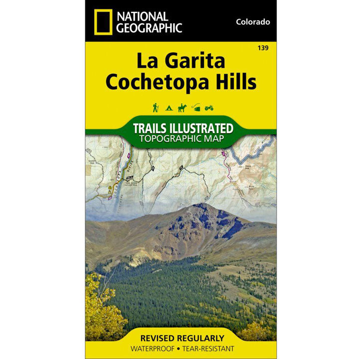
The National Geographic -Trails Illustrated folded map is your essential guide for outdoor exploration in Colorado's La Garita Wilderness/Cochetopa Hills area. The brilliantly illustrated topographical representation shows all trails, campsites, and recreational features, plus relevant info on wildlife, history, geology, and archaeology. Coverage includes San Isabel, Gunnison and Rio Grande National Forests. La Garita Wilderness, Cochetopa Hills, Cebolla Creek State Wildlife Area, Dome Lakes State Wildlife Area. Creede, Cathedral, Monchego Park. O'Haver Lake, Vouga Reservoir, Devils Lake, Saguache Creek, Black Mountain Lake. 14er: San Luis Peak. Monarch, Slumgullion, Cochetopa, Marshall, Halfmoon and San Luis passes. Jon Wilson Yurt, Rambouillet Yurt. Includes portions of the Continental Divide Trail and the Colorado Trail. All data is updated to reflect road closings, new trails, and campground relocation.
Printed on waterproof, tear-resistant material with a plastic coating that offers supreme durablity for your next outdoor adventure.
Measures 4" x 9" folded and 28" x 32" fully opened.